
Quick answer
The distance between Kumarakom and Alleppey is approximately 32 kilometers by road, typically covered in 50 to 70 minutes depending on traffic. By water, the backwater route spans roughly 16 kilometers and takes 2 to 4 hours depending on vessel type—houseboats cruise slowly, while speedboats and ferries cut the journey to under 90 minutes. Both destinations share access to Vembanad Lake, making the route a natural corridor for exploring Kerala's backwater region.
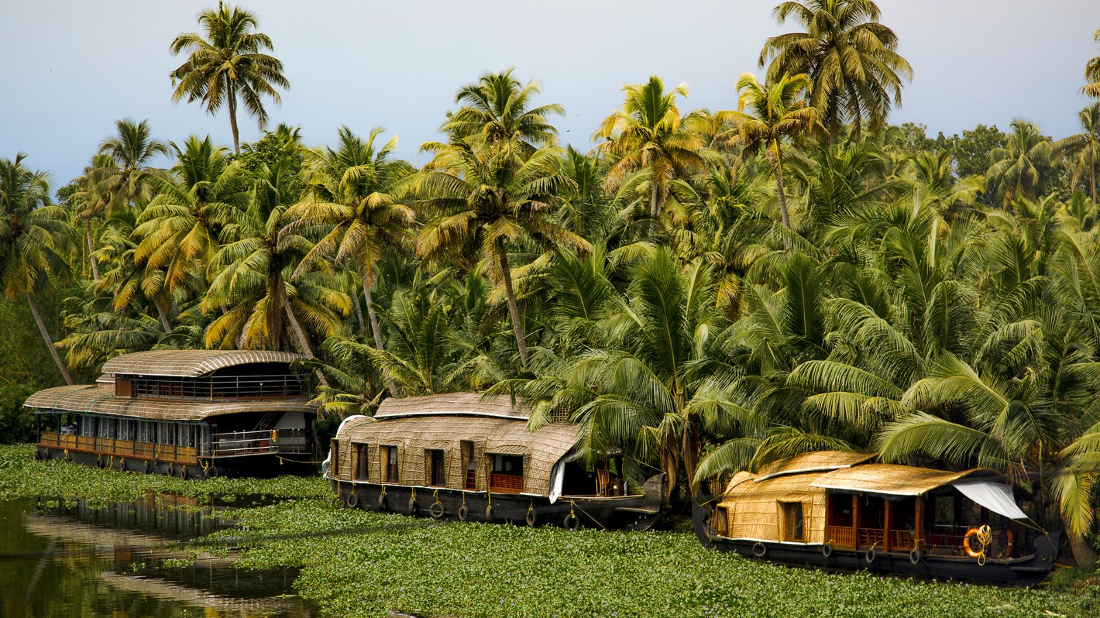
The 32-kilometer stretch separating Kumarakom and Alleppey is not a barrier but a narrative arc through Kerala's backwater heartland. Road travel follows NH66 and State Highway 40, tracing the eastern shore of Vembanad Lake through rubber plantations, coconut groves, and villages where canals double as main streets. The journey by water, however, collapses the map entirely—houseboats and ferries cut across the lake rather than skirting it, turning the route into a slow drift past paddy fields, Chinese fishing nets, and the occasional temple spire rising above the palms. Kumarakom anchors the northern end as a cluster of resorts and the Kumarakom Bird Sanctuary, a 14-acre preserve best visited between November and February when migratory species arrive from Siberia and the Himalayas. Alleppey, 32 kilometers south, operates as the commercial and logistical spine of the backwater network—most houseboat operators base here, and the Nehru Trophy Boat Race every August draws tens of thousands to its finish line. The distance between Kumarakom and Alleppey means you can stay in the quieter village and explore the busier town in a single morning, or anchor in Alleppey and take a day cruise north without committing to an overnight voyage. Road and water routes rarely align in Kerala's backwater geography. The highway is faster and cheaper, used by local buses, auto-rickshaws, and taxis charging 800 to 1,200 rupees for the trip. The waterway is slower and atmospheric, appealing to travelers treating the journey itself as the destination. Public ferries run twice daily, charging minimal fares, while private houseboats and speedboats operate on flexible schedules at correspondingly higher rates. The route remains accessible year-round, though monsoon swells between June and September can slow boat traffic and make road travel preferable. Most visitors planning a backwater itinerary anchor in one location and take a half-day excursion to the other. Kumarakom to Alleppey by boat offers uninterrupted lake views and the chance to drift past village life at walking pace. The reverse journey by road is practical for travelers carrying luggage or arriving late in the day. Either direction, the 32-kilometer corridor functions less as a gap to cross and more as a thread connecting two complementary experiences of the same waterscape.
“The backwater route collapses the map entirely—houseboats cut across the lake rather than skirting it, turning distance into a slow drift past paddy fields and temple spires.”
How to Travel the Distance Between Kumarakom and Alleppey
The distance between Kumarakom and Alappuzha (Alleppey) is covered primarily via road or the scenic backwater network. Travelers can choose between convenient road transit along the local highway or direct boat services that navigate the Vembanad Lake.
Travel via SH40 and NH66
Private hire from Kumarakom to Alappuzha town
Public or private water transit via Vembanad Lake
KSRTC local bus service via Kottayam
Best Time to Travel the Distance Between Kumarakom and Alleppey
The period between November and February offers the most comfortable climate for traversing the backwaters between Kumarakom and Alleppey. Regardless of the season, the route remains accessible 24 hours a day, providing full flexibility for your travel schedule.
November to February
Moderate to highDry and pleasant, 22°C–30°C
Ideal conditions for water transit and sightseeing.
March to May
Low to moderateWarm and humid, 28°C–35°C
Days are hot, making early morning travel preferable.
June to August
LowHigh rainfall, 24°C–29°C
Monsoon rains can affect water levels and visibility.
Weekday mornings
Minimal—
Quiet travel conditions for those seeking a calm transit experience.
Verdict: The best time to travel is between November and February, preferably during weekday mornings to avoid peak transit volume.
Admission Fees for the Distance Between Kumarakom and Alleppey
There is no entrance fee required to travel between Kumarakom and Alappuzha, as this route is a public geographic corridor. Costs only arise if you choose to secure private transportation such as houseboats or taxis.
A typical traveler pays 0 INR for the route itself, with total expenses determined solely by the private transport method selected.
Operating Hours for the Distance Between Kumarakom and Alleppey
The route between Kumarakom and Alappuzha is a public transit corridor accessible at all times. It remains open daily for travel between these two locations.
| Monday | 00:00–23:59 | |
|---|---|---|
| Tuesday | 00:00–23:59 | |
| Wednesday | 00:00–23:59 | |
| Thursday | 00:00–23:59 | |
| Friday | 00:00–23:59 | |
| Saturday | 00:00–23:59 | |
| Sunday | 00:00–23:59 |
Nearby Destinations and the Distance Between Kumarakom and Alleppey
The region surrounding the backwaters offers several accessible destinations that complement the transit between Kumarakom and Alleppey. These locations provide additional context to the geography of the Kerala backwaters and coastal areas.
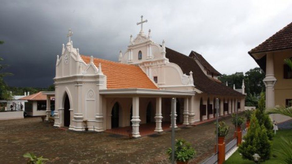
Kottayam
Located near Kumarakom, this town serves as a regional hub with historical churches and access to the highland districts.
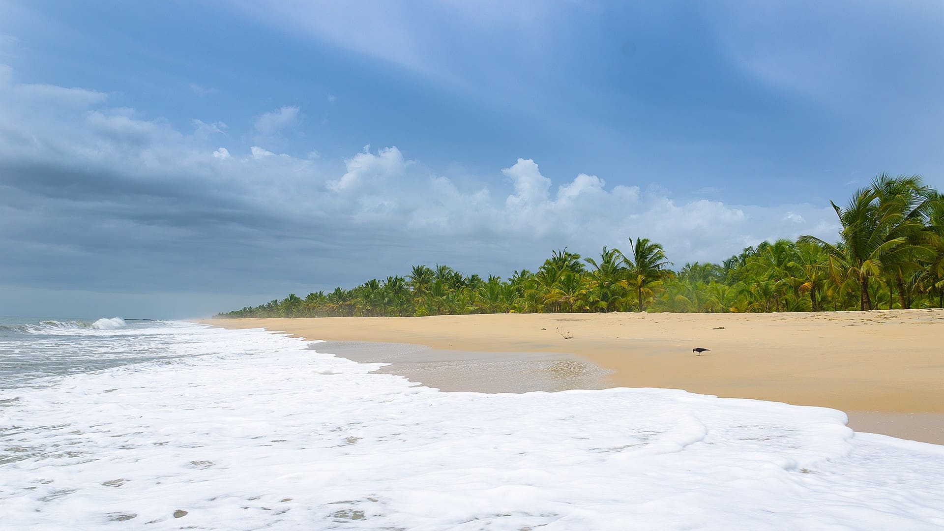
Marari Beach
Situated north of Alappuzha, this beach offers a quieter coastal alternative to the busy houseboat channels.
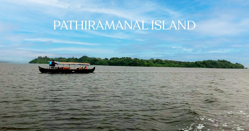
Pathiramanal Island
Located in the middle of Vembanad Lake, this island is a common stop for birdwatching during boat transit between the two main hubs.
Check availability
Frequently asked questions about distance between kumarakom and alleppey
Everything you need to know about distance between kumarakom and alleppey